
Photography by Andy Goodson and Sean Hootz
The summer of 2017 was an uncertain time for me, but unlike last year it wasn't spent flipping canoes or wading through flash floods. It was spent in an office scrambling to finish a large project, while at home Teisha and I packed boxes and sold half our belongings before moving to Saskatoon.
We had planned a canoe trip for August with some friends to paddle down the Sturgeon-Weir, our first shield river. But the area had received record-breaking rainfalls causing the Churchill River to overflow into the Sturgeon-Weir. The 430-square-kilometre Amisk Lake, which both drains and feeds major sections of the Sturgeon-Weir, had risen by nearly four feet.
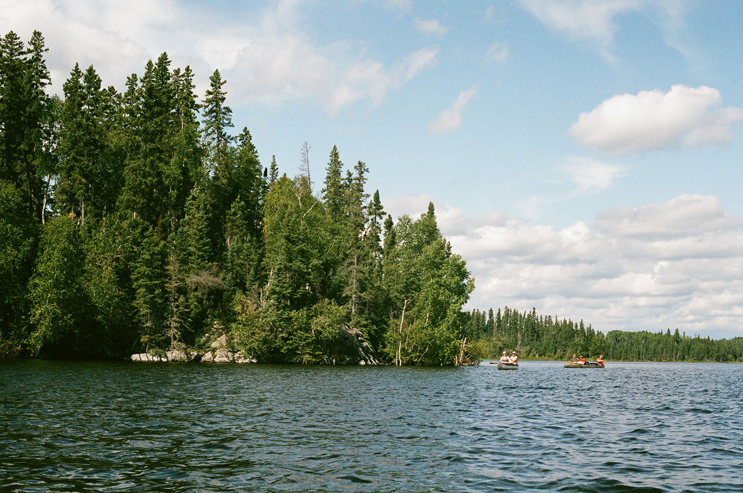
Being inexperienced in paddling rivers, we lost confidence in the original plan. I suggested we return to Amisk Lake, same as our first canoe trip, where we would paddle the 50-kilometre route around Missi Island instead. See Map

Water levels on Amisk (Beaver) Lake had risen by around four feet due to heavy rainfall in 2017. (Goodson)
Sunday August 13, 2017, Denare Beach, Saskatchewan
We were parked outside the resort office when we saw the owner driving a side-by-side through the water where his boat launch used to be.
He pulled up next to us. "You guys lost?" he said. People always seem to ask us that.
We told him about our plan to canoe around Missi Island, while helicopters carrying large buckets flew overhead. The air was dry and smoky with a pleasant incense of spruce needles, coupled with the troubling uncertainty of where it was coming from.
"Hope you guys brought stoves 'cause you won't be having any fires. It's real crispy out there," he said. All I knew about was the high water and I did not think to check for fire bans. Most of us had brought food that was better cooked over a campfire.
I asked about the rain we had seen in the forecast, but he said there hadn't been a drop in over a week and he only seemed concern about lightning strikes and the potential for more wildfires. The ban was not ending anytime soon.
We let him know that we would still require three canoes for departure early the next morning. He said "okay," then drove off, shirtless into the sunset, leaving us to the same cabin we had rented two years before.

Leaving the boat launch (Hootz)
Monday August 14, 2017, Denare Beach — Day One around Missi Island
I was rattled out of my sleep by the sound of more helicopters flying over the cabin. Whether it was because of the smoke or stress, I did not much feel like leaving bed, let alone dry land.
Sean and a few others left for Flin Flon to pick up some last minute supplies and a hibachi stove to cook on instead of an open fire. We needed to paddle an exceptional amount of kilometres that day if we were to stay on schedule. Still, I went back to bed with fatigue and a scratchy throat, hoping everyone else was taking their sweet time.
By noon, we were packed and ready to leave. Teisha and I were sharing a canoe though neither of us were skilled at paddling, and I had virtually destroyed my canoe earlier in the year. I wondered how long I could fake my steering skills as we fishtailed our way out of the sheltered channels of Denare Beach.
Nearing the south end of Missi Island, we found open water accompanied by wind and waves. A haze of wildfire smoke descended over the lake and whitecaps emerged as far as we could see—which was only a few hundred feet, give or take.

All smoke and no scenery (Goodson)

Choppy water (Goodson)

Taking a break from the waves on a crispy island (Goodson)
I struggled to correct our direction as Teisha wasted her energy on my bad steering. After a challenging section, we docked at an island to stretch our legs where I walked on a carpet of dry lichens crunching like potato chips. The mosses and leaves appeared pale, faint and uncomfortably stiff as the woods crackled in the heat.
Teisha remarked how the lake was not as breathtaking as she remembered, unless we accounted for smoke inhalation. I wondered if it was less spectacular only because we had seen it before, with or without the haze.
We returned to the water focused on recovering lost time rather than sightseeing. Strong gusts coming off the lake were becoming difficult and we needed to reach the west side of Missi Island to avoid being trapped if the water became impassable. We had paddled for hours and still had ways to go.
My strokes became automatic functions I had little to do with, and soreness was less pain than robotic defect. Matt, who had become somewhat seasick and dehydrated, led his canoe in a haggard chanty of Rob Zombie’s Dragula. This was about it for conversation.
We made it to the west end of Missi Island with only a couple hours of sunlight left.
“I feel like I’m gonna puke,” Matt said. “Can we please find a place to camp?”
Nate, whose canoe had led the group for most of the trip, was annoyed. “Look around,” he said, “the shores are all flooded. We’ve gone this far, we might as well keep going.”
I could feel Matt’s frustration, but Nate was right. After a day of intense paddling we needed to reach somewhere worthwhile.
The group split up as some investigated islands on the opposite side of the kilometre-wide channel using radios to communicate if a suitable camp was found. Everything was either too steep or too wet until we found our place to stay for the night, much further than we had hoped.
We were sitting around a sad little fire in the hibachi stove when Sean announced the day’s trip total from his GPS: 26 kilometres in eight hours. This was an accomplishment for us, though I assume it was an average day for people who know what they’re doing and wake up on time.
“We’ve nearly done half the trip,” Sean said. “Huh.”

Relaxing at camp after paddling 26 kilometres (Hootz)

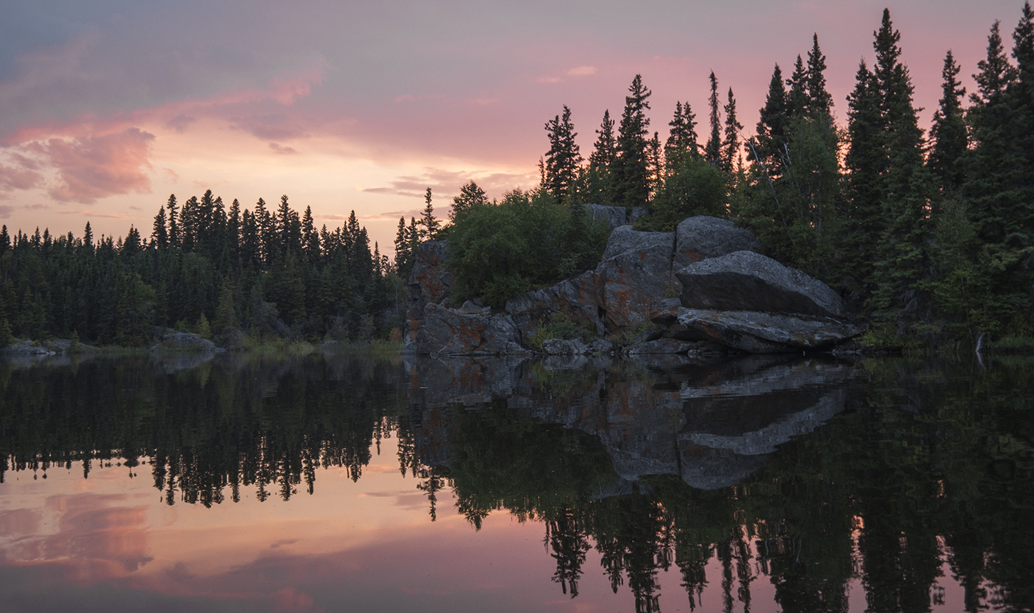
Sunset on the western shore of Missi Island (Goodson)
Tuesday, August 15, Amisk Lake — Day Two around Missi Island
Everyone had turned in early after an onslaught of mosquitoes made life without a real campfire unbearable. On the bright side I was well rested–a complete turnaround from the day before.
I unzipped the tent, letting in a cool draft and blinding myself in the overcast light. This was the day it was supposed to rain, though only a few millimetres. It started to come down minutes before we left our camping spot and set forward.
The previous day's efforts paid off as most of the southeast winds blew overhead, blocked by Missi Island. However we did not consider what we would do if it stormed. The sky rumbled just as we were paddling out of the bay.
"We shouldn’t stay on the water if there’s any more thunder," Sean said. I agreed, being paranoid of lightning ever since Killdeer.
"We can't canoe within five kilometres of any cloud," Kyle said, imitating Sean’s voice. He gave us a sour face. "I hope you guys are kidding." I felt embarrassed. At some point, I had forgotten how to be outdoors.
The wind was at our backs and we were able to cross choppy sections without taking on much water. Still, Teisha and I were struggling to keep up with Nate and Gill who were setting a faster pace than my shitty J-stroke could match.

Nate, Oats and Gill paddling by a steep island (Goodson)

Sean mentioned that we were getting close to an abandoned mine site. It was no challenge to find, spotted by a clear opening in the woods next to an old building.
The site appeared to be used recently, though most likely for reasons other than mining. There was not much to see except a few old trailers, a tree infested with carpenter ants and hordes of mosquitoes. I left with nickel-sized welts all over my neck and face from whatever mutant breed lived there.
Happy to be back on the water, we set forth toward a long, sheltered channel that was a perfect oasis to remember why we came out in the first place.
I stopped paddling and refreshed my beer supply.
"Why are they going so fast," Sean said. "This is the best water we've had all day and we're rushing right through it." Teisha and I were getting frustrated with the pace as well, so I tied on a lure and threw out some line.
After about a dozen casts that day, I hooked into something. It took off with my lure like a log down a river, so I suspected a northern pike. I saw the iridescent flash of its sleek body before it snapped my line and was gone forever—the most fishing action I had all year.
"Are you getting your fishing bug back?" Teisha smiled. I didn't want to jinx it.

Carpenter ants removing sawdust from an opening in a spruce tree (Goodson)

Overgrown mine site on Missi Island (Hootz)

Paddling through a calm channel (Hootz)

Fishing for northern pike (Hootz)
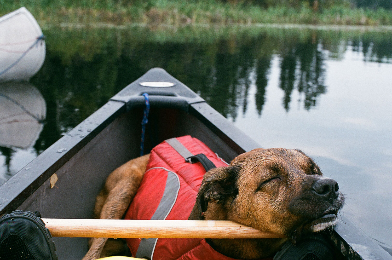
Jean-Paul, tired old sea dog (Hootz)
By the time we broke for lunch, the sky had cleared and the heat returned. Nate and Sean were comparing their GPS maps. We were not only ahead of schedule, but had blown through most of the trip and would only be a day's paddle away from familiar water.
"There's a bunch of islands coming up where we can shop for a camp and set up early," Sean said. But just as we reached the turning point on the northwest corner of Missi Island, the channel became a wind tunnel blowing directly against us. There would be no shopping. Thankfully a perfectly good campsite was within reach.

Approaching the northern edge of Missi Island—which quickly became our second camp (Hootz)

View from our second camp on the northern tip of Missi Island (Hootz)

Strong winds - just on the other side of the peninsula where we camped - prevented us from going further. (Hootz)
The wind didn't calm down, but we spent the rest of the afternoon fishing from shore and exploring the woods nearby. It turned out to be a better campsite than we could have asked for.
By evening, storm clouds rolled in once again and showered us with rain that lasted throughout most of the night.

Raindrops falling on Amisk (Goodson)

Rejuvenating rain (Goodson)
Wednesday August 15, 2017, Missi island — The End of the Trip
The weather had cleared up nicely, giving us an opportunity to finish the trip around Missi Island and ride out the rest of our vacation. We had little difficulty paddling through the north channel and were browsing islands on the northeast end of Amisk by mid-afternoon.
There were abundant campsites to choose from, but we settled on the same campsite we had found when we visited Amisk Lake the first time. From this spot, all the typical vacation activities were available. The mission to paddle around Missi Island was over.
Ending a long slump of nil catches, I was able to land a decent pike from shore, along with a few small walleye. Others in our group swam across the bay to dive off cliffs. Later, we explored nearby Lookout Island, where we climbed the peak and could see wildfire smoke billowing in the distance.

Curious Creatures (Hootz)

Slimer (Hootz)

Hiking to the peak of Lookout Island (Hootz)

Hiking to the peak of Lookout Island (Hootz)

View from Lookout Island (Hootz)

Nate and Gill (Hootz)

Wildfire smoke over Amisk Lake (Goodson)
The rain had let the mosses and lichens regain their soft, spongey texture, and the haze had disappeared revealing rocky shores across the channel. Amisk was looking well again, all while ashes fell from the sky like snowflakes.
On the last evening, Teisha and I spent an evening paddling the mirror-like lake, which created symmetrical figures like wilderness Rorschach tests. I had just learned how to steer the canoe properly and cringed to think of how much energy we wasted on the 50-kilometre journey.
Psychedelic lake (Goodson)

Pale green lichen (Goodson)

Oaty (Goodson)

Reindeer lichen (Goodson)

Wilderness Rorschach Test (Goodson)
"Pride Rock" (Goodson)
We discussed the Missi Island trip but couldn't pinpoint any major cons or highlights. While Teish and I had moved to a new city and were adjusting to a new life, a trip to a familiar place seemed almost anti-climactic. There was a sense of adventure and anticipation in discovering a new place for the first time, and that was what was missing around Missi Island.
We returned to Denare Beach by noon on Friday. While unloading the canoes, the owner asked us about our trip. We had more questions about the Sturgeon-Weir River, which seemed much less daunting than it did before we left. Maybe it was time to stop calling ourselves novices, to take the plunge and go for it.
"We would have figured it out," Nate said, "just like we do with every other trip."