

My name is Levi; I am a 28-year-old geologist, working in northern Saskatchewan. My wife Michelle is also a geologist who has worked in the province's north. My love for exploration started with family ATV excursions and fishing trips to remote locations while growing up on a farm near Iron River in Alberta's Lakeland region. As a lover and promoter of my new home in Saskatchewan, I am happy to share my story of the Badwater River — a canoe trip in remote northern wilderness.
My interest in the Badwater River area started when I read about the region's geology and learned that Pasfield Lake, the river's primary source, is a 220-metre-deep (720 ft.) meteorite crater. The lake is fed primarily by groundwater and run-off, and its clarity is truly astonishing. I discovered the Badwater River while researching a way to visit the lake, but I couldn't find anyone who had canoed the route. The more I read about the region, the more enticing it became.
I managed to lure five others into a canoe trip on the river with an extremely detailed - and extremely nerdy - PowerPoint presentation. The team consisted of fellow geologists, Mikkel, Evan, Andrew and Michelle, and Chad, whose background is in biology. I had never done a fly-in canoe trip before, but most of the party worked and felt somewhat at-home in the wilderness. Chad was by far the most experienced in remote canoeing and provided us with a helpful, guide-like presence. The trip required six days on the water and two days for travel to and from the destination.

Group photo at Points North Landing. Left to right: Michelle, Evan, Andrew, Mikkel, Chad and myself
Our trip started at 6 am in Saskatoon, July 14th, 2016. The entire day was spent on the road traveling to Points North, commonly referred to as "Points." We spent the night camped at the edge of the airstrip where we would take off the following morning on a Turbo Otter to Green Bay at the northeast side of Pasfield Lake.
During the flight, I attempted to capture photos of the vast expanse of drumlins, eskers and rivers, but the plane windows were too scratched and dirty. The Pasfield Lake Plain was a relatively dry, flat and uplifted ecodistrict within the larger Athabasca Plain ecoregion. It was likely formed by the shattering and rebound of the Athabasca sandstone caused by the Pasfield Lake meteorite impact. Unlike much of northern Saskatchewan, it holds fewer lakes.
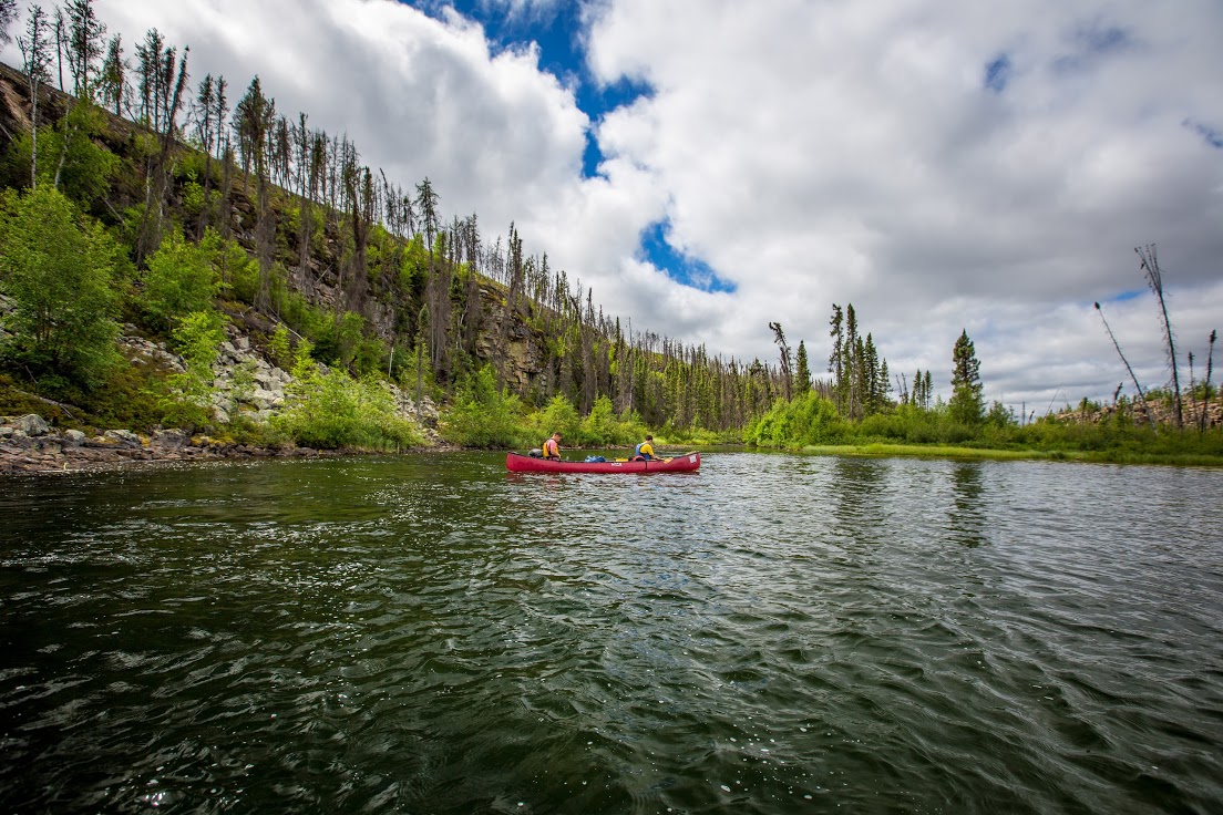
On our first day of canoeing we attempted to catch some of the trophy-sized lake trout held in Pasfield Lake. We managed one respectable 28-inch trout, but the wind was strong and we were eager to start our journey downstream. As we paddled out of Pasfield, the origin of Green Bay's name was obvious. The blue-green waters and white silica-rich sands seemed more like a tropical destination than Saskatchewan.

Green Bay at Pasfield Lake
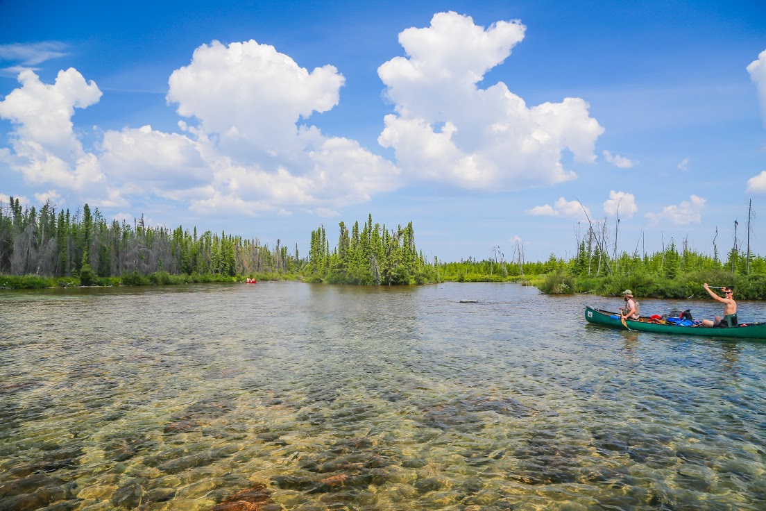
Approaching Pasfield Lake's outflow into the Badwater River
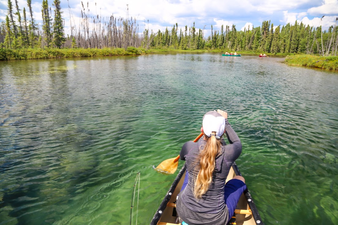
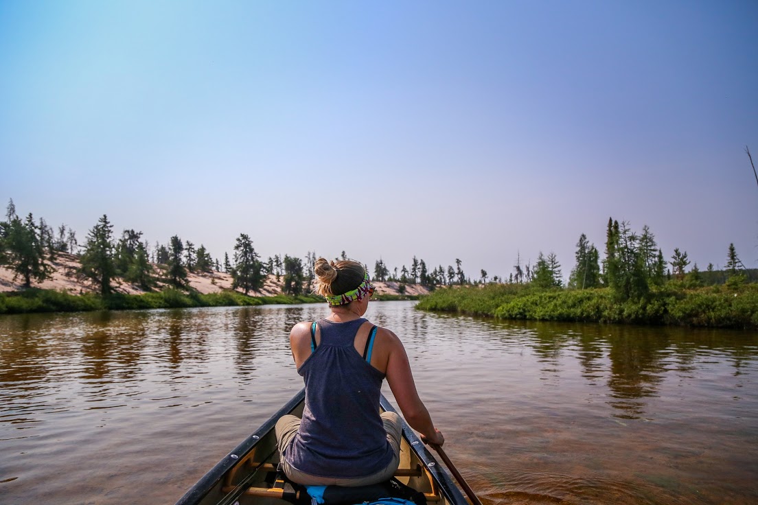
Paddling through blue-green water
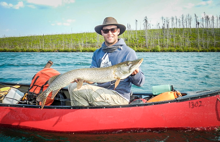
Pike from the Badwater River
At the end of Green Bay, the outflow into Badwater River greeted us with trickling shallow rapids and abundant boulders. The first stretches of rapids were managed by walking our canoes through the deepest water we could find. The importance of good water shoes was apparent.
Strong wind from the northwest persisted for the remainder of the day and made paddling difficult when crossing the Granger and Dubé Lakes.
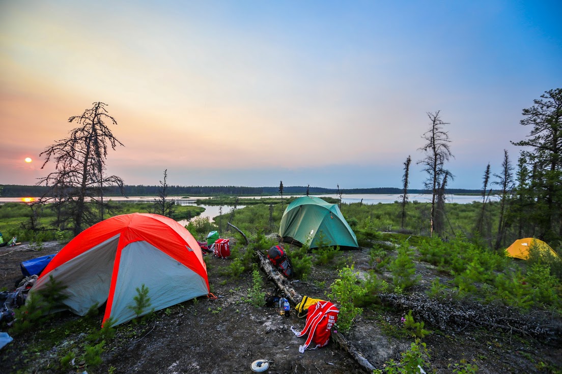
The stretch of river between the two lakes looked almost like a mangrove with deep, clear pools and bends undercutting the muskeg banks lined with overhanging shrubs. We found our first camping spot near the outflow of Dubé Lake. It was a sandy little bay, sheltered by a crescent-shaped esker.
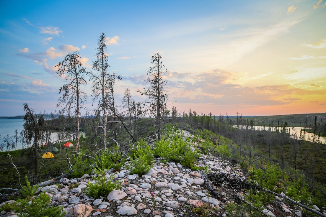
First night's camping spot on an esker near the outflow of Dubé Lake
◈◈◈
Day Two
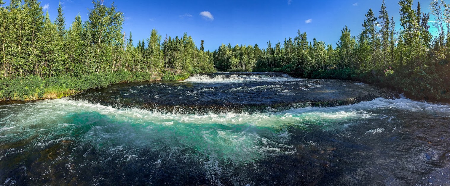
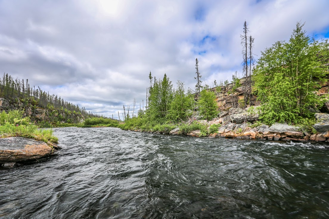
Our second day of paddling was pleasant with several outcrops and nice runs of rapids. The river had gently sloping banks and the surrounding vegetation consisted of burnt and stunted trees. We came upon four different waterfalls and some excellent fishing for Arctic grayling. The pace was relaxed leaving plenty of time to enjoy the scenery, fishing and even swimming in the smaller waterfalls.
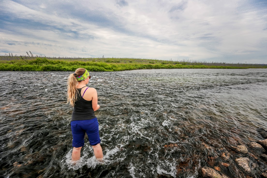
Michelle fishing the Badwater River

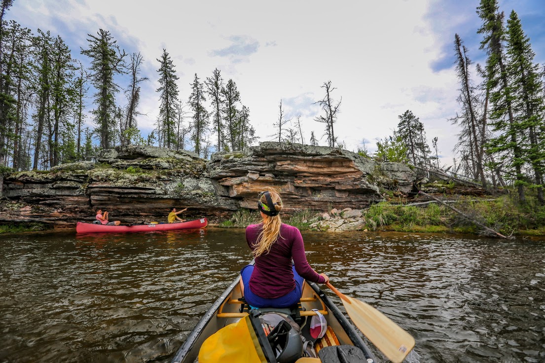
Andrew and Evan paddling rapids
Overhanging sandstone slabs

Sandstone crevasse

First grayling for Michelle

The first small waterfall
Swimming spot
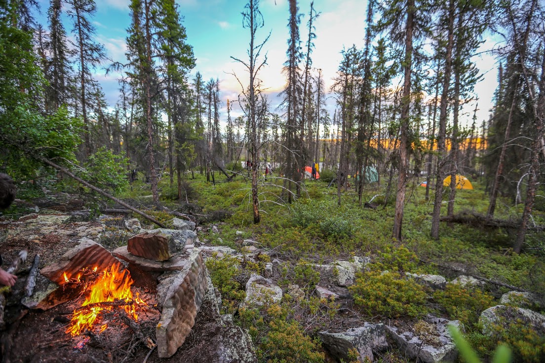
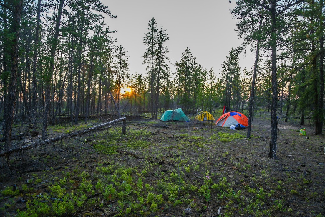
As the end of the day drew near, the river took a sharp turn from the northeast to west. Its banks became steep and treed with old-growth jack pines. We struck gold looking for a camping spot, and pitched our tents on a moss-covered outcrop in a flat, sheltered area not far from the river.

Drumlins and an outcrop
Bedrock camp
◈◈◈
Day Three
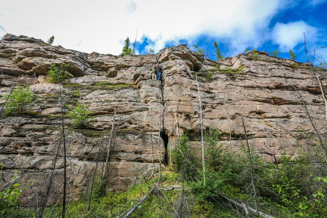
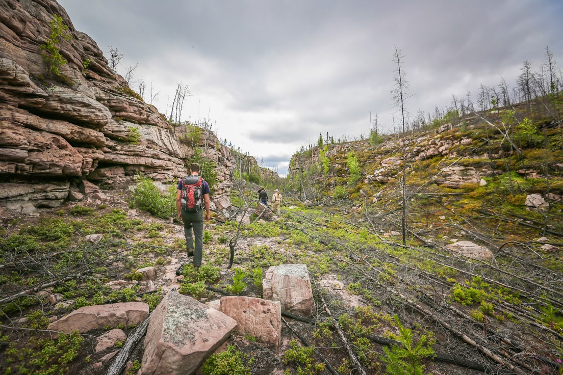
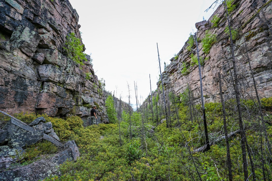
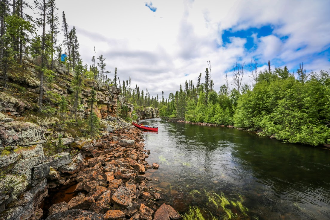
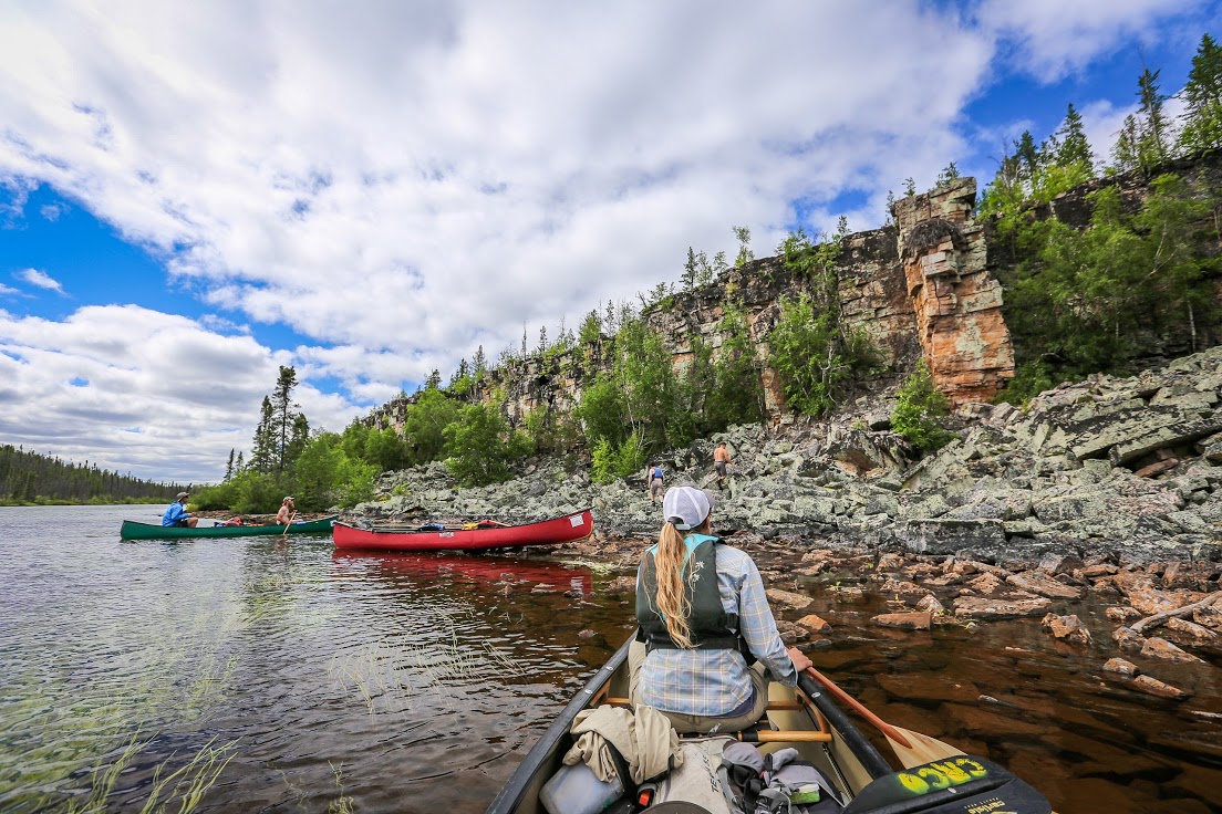
The next morning, we packed our gear, crossed the river and started hiking to a canyon we had spotted the night before. As we neared the canyon, we knew we had made a great find. The cliffs were large (for Saskatchewan) and the Athabasca sandstone outcrops were extensive. There were many caves of varying size and we found one with several chambers that led to an opening on the side of a cliff. We could have easily spent and entire day hiking and exploring the small canyon and surrounding area.
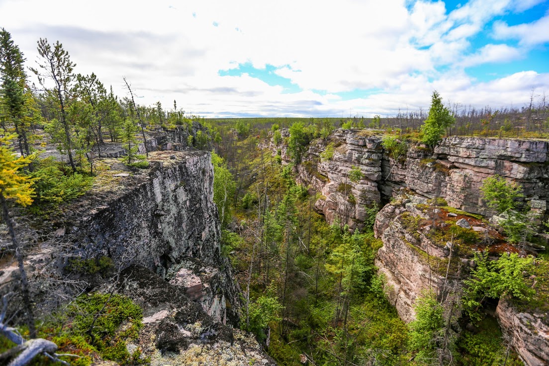

The remainder of the day was spent on a beautiful stretch of river with abundant outcrops. The river tiptoed to the west, flowing beside sandstone cliffs and toppling slabs of rock within an amphitheatre-like valley.

Canyon country at the Badwater River
Spotting an eagle's nest

"The Amphitheatre" - layered sandstone beds that appear almost like benches
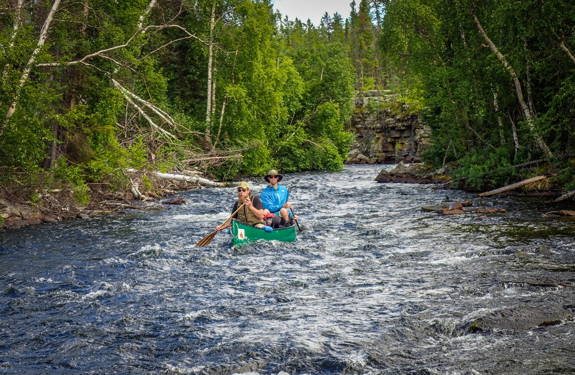
Paddling through a rough river section
We landed our canoes and made camp at the outflow of a relatively large pool by a small stand of old jack pines. Mikkel named the location "Triangle Camp" after finding a triangular sandstone boulder.
◈◈◈
Day Four
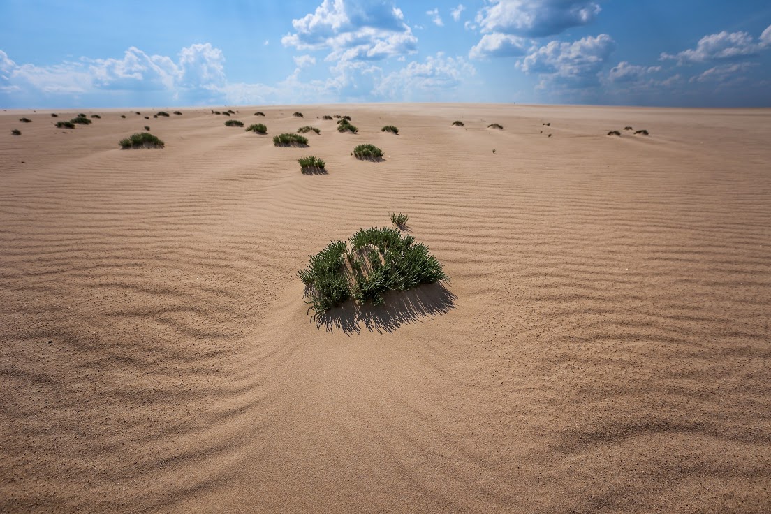
Our next day started with a good pace. After a couple hours of paddling, we landed a few kilometres upstream of Poitras Lake and took a short hike into the Badwater dune field. It was relatively small and consisted of partially buried trees, berries and shrubs.
After exploring the dunes and hiking back under intense heat, we went for a badly needed swim to cool down. We returned to paddled the river and battled a strong, persistent headwind that would last the entire day.
We crossed Poitras Lake hoping to find relief at the river again, but found none. The landscape seemed flatter than ever with almost no trees or hills offering shelter. The river had also widened and the current was slow. In the strong winds, we found ourselves walking our canoes through shallow rapids once again. It was not until we arrived at the Cree River that we experienced some much needed relief.
Poitras Delta
Paddling into the Poitras Delta
Camping on an island within the Cree River
That night, we anchored our canoes and camped on top of an esker-formed island within the Cree River. This camping spot appeared to be recently used and was very close to a portage that led to the Pipestone River.
◈◈◈
Day Five
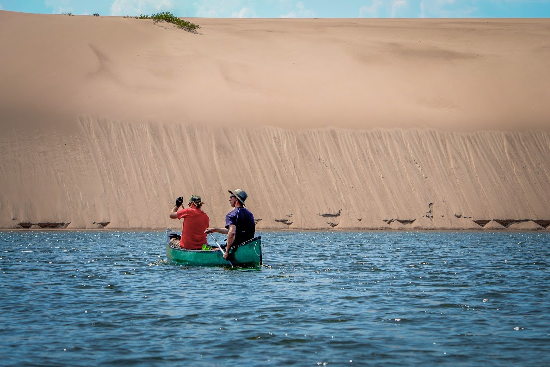
The fifth day of our journey started with a mission to see the larger dunes of the Pipestone River system. After the 500-metre portage, we paddled 5.3 kilometres up the Pipestone River and 3.6 kilometres across a lake, once again into a strong headwind. Paddling upstream proved much less difficult than paddling upwind. Only one stretch of river required a hard and calculated sprint. We were happy to make it as the reward was well worth the effort.
Sandbars
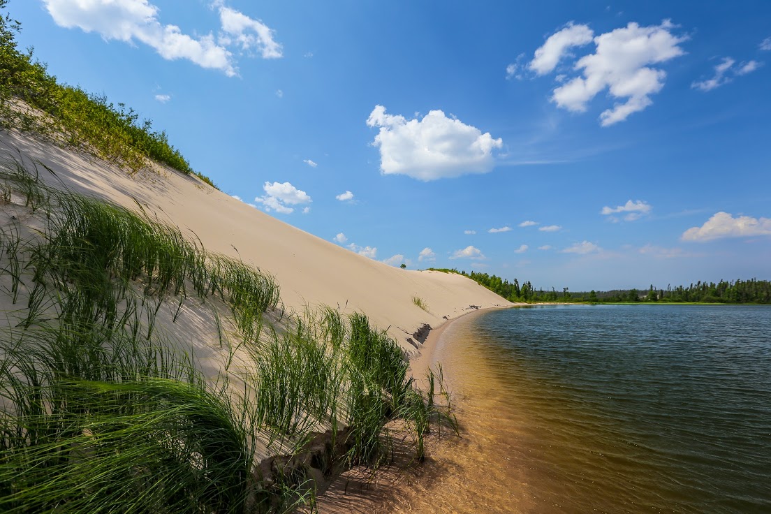
Large dunes along the Pipestone River
Wall of sand

Group photo at the Pipestone River sand dunes
The remainder of the day was met with ease, but the wind had unfortunately switched directions and gifted us with occasional showers and thunderous warnings in the distance. We passed a couple of well used camping spots on the riverbanks of the Cree River, but opted to camp further downstream to shorten the next day's paddle and arrive at the arranged pick-up location on time.
Since we held out for a campsite further downstream, we were forced to stay overnight in one of the few remaining stands of jack pine along the Cree River.
Smooth sailing downstream and back at the Pipestone River
◈◈◈
Day Six
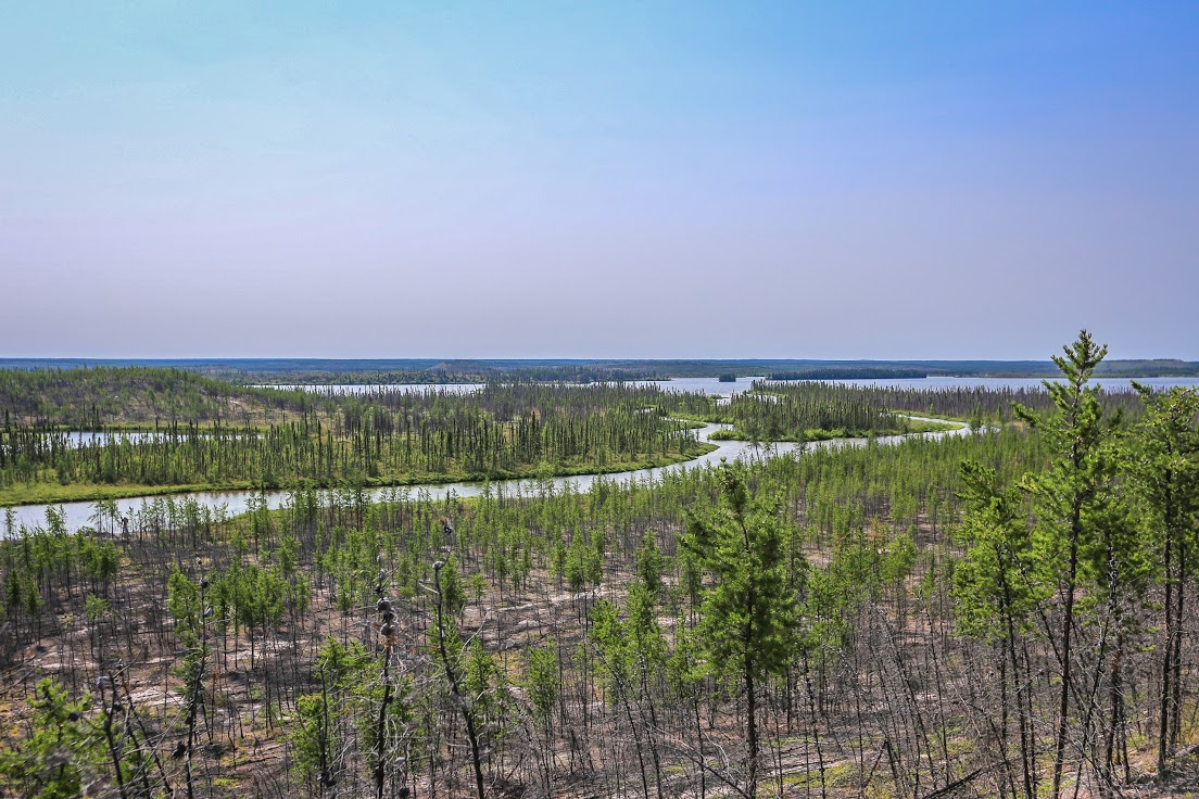
The luck and good fortune of our camping spot was evident the next day. The land surrounding the Cree River was dominated by muskeg and a few thickly treed drumlins. The river meandered more and more, becoming increasingly braided as we neared Wapata Lake. We stopped for one quick hike up a drumlin to view the surrounding Cree River lowland before heading back on our way to Wapata Lake.
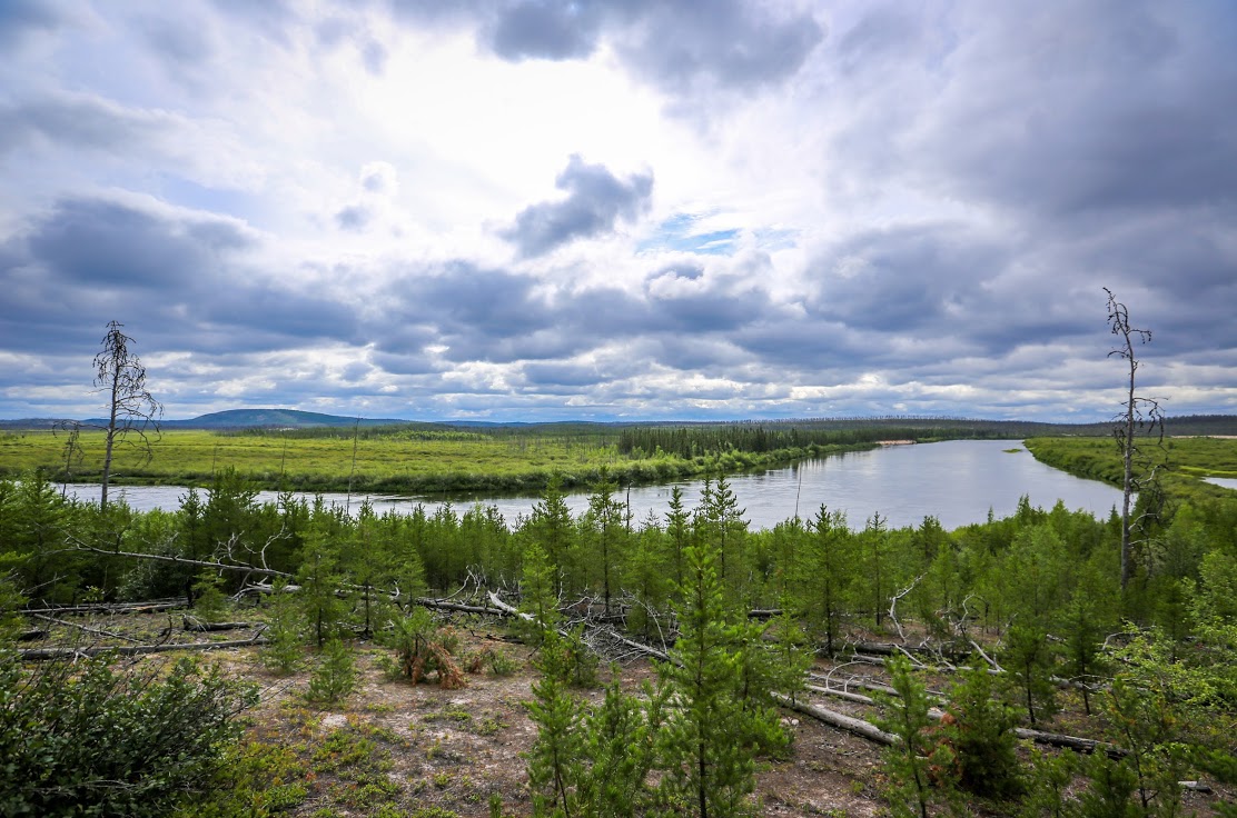
View of the Cree River from a drumlin
Once we reached Wapata Lake, we did a short 30-metre portage and finished our trip with a 10.5-kilometre paddle to our pick-up location just off Highway 905. We were at the pick-up spot for less than twenty minutes before the driver arrived. All three canoes were strapped to the roof rack, gear in the truck box, in less than an hour. We were soon on our way back to our homes, jobs and other responsibilities that had been conveniently left behind for the week.
I have vacationed in Saskatchewan many times over the years and I am a firm believer that some of the greatest exploration and travel opportunities lie within its north. This trip was a testament to the many amazing places within the province that few people know about or take the time to visit. There are few places in the world where you can start a canoe trip in a meteorite crater and paddle down a river while viewing canyons, cliffs, drumlins, eskers and sand dunes.
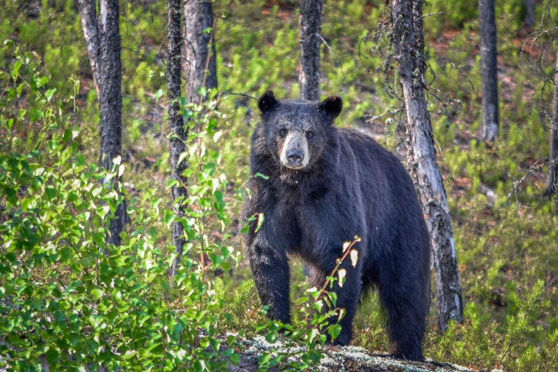
Black bear at the portage to Pipestone River
Click here for a full map of the Badwater River canoe trip.
To see more of Levi's travels and fishing exploits in northern Saskatchewan, follow @leviadventureguy on Instagram.